|
<!DOCTYPE html>
|
|
<html>
|
|
<head>
|
|
<title>Leaflet debug page</title>
|
|
|
|
<link rel="stylesheet" href="http://cdn.leafletjs.com/leaflet-0.7/leaflet.css" />
|
|
<script src="http://cdn.leafletjs.com/leaflet-0.7/leaflet.js"></script>
|
|
<meta name="viewport" content="width=device-width, initial-scale=1.0">
|
|
<link rel="stylesheet" href="screen.css" />
|
|
|
|
<link rel="stylesheet" href="../dist/MarkerCluster.css" />
|
|
<script src="../dist/leaflet.markercluster-src.js"></script>
|
|
|
|
<style>
|
|
.mycluster {
|
|
width: 40px;
|
|
height: 40px;
|
|
background-color: greenyellow;
|
|
text-align: center;
|
|
font-size: 24px;
|
|
}
|
|
|
|
</style>
|
|
</head>
|
|
<body>
|
|
|
|
<div id="map"></div>
|
|
|
|
<script type="text/javascript">
|
|
|
|
var tiles = L.tileLayer('http://{s}.tile.osm.org/{z}/{x}/{y}.png', {
|
|
maxZoom: 18,
|
|
attribution: '© <a href="http://osm.org/copyright">OpenStreetMap</a> contributors'
|
|
}),
|
|
latlng = L.latLng(50.5, 30.51);
|
|
|
|
var map = L.map('map', {center: latlng, zoom: 15, layers: [tiles]});
|
|
|
|
|
|
//Custom radius and icon create function
|
|
var markers = L.markerClusterGroup({
|
|
maxClusterRadius: 120,
|
|
iconCreateFunction: function (cluster) {
|
|
var markers = cluster.getAllChildMarkers();
|
|
var n = 0;
|
|
for (var i = 0; i < markers.length; i++) {
|
|
n += markers[i].number;
|
|
}
|
|
return L.divIcon({ html: n, className: 'mycluster', iconSize: L.point(40, 40) });
|
|
},
|
|
//Disable all of the defaults:
|
|
spiderfyOnMaxZoom: false, showCoverageOnHover: false, zoomToBoundsOnClick: false
|
|
});
|
|
|
|
|
|
function populate() {
|
|
for (var i = 0; i < 100; i++) {
|
|
var m = L.marker(getRandomLatLng(map), { title: i });
|
|
m.number = i;
|
|
markers.addLayer(m);
|
|
}
|
|
return false;
|
|
}
|
|
function populateRandomVector() {
|
|
for (var i = 0, latlngs = [], len = 20; i < len; i++) {
|
|
latlngs.push(getRandomLatLng(map));
|
|
}
|
|
var path = L.polyline(latlngs);
|
|
map.addLayer(path);
|
|
}
|
|
function getRandomLatLng(map) {
|
|
var bounds = map.getBounds(),
|
|
southWest = bounds.getSouthWest(),
|
|
northEast = bounds.getNorthEast(),
|
|
lngSpan = northEast.lng - southWest.lng,
|
|
latSpan = northEast.lat - southWest.lat;
|
|
|
|
return L.latLng(
|
|
southWest.lat + latSpan * Math.random(),
|
|
southWest.lng + lngSpan * Math.random());
|
|
}
|
|
|
|
populate();
|
|
map.addLayer(markers);
|
|
|
|
|
|
|
|
var shownLayer, polygon;
|
|
|
|
function removePolygon() {
|
|
if (shownLayer) {
|
|
shownLayer.setOpacity(1);
|
|
shownLayer = null;
|
|
}
|
|
if (polygon) {
|
|
map.removeLayer(polygon);
|
|
polygon = null;
|
|
}
|
|
};
|
|
|
|
markers.on('clustermouseover', function (a) {
|
|
removePolygon();
|
|
|
|
a.layer.setOpacity(0.2);
|
|
shownLayer = a.layer;
|
|
polygon = L.polygon(a.layer.getConvexHull());
|
|
map.addLayer(polygon);
|
|
});
|
|
markers.on('clustermouseout', removePolygon);
|
|
map.on('zoomend', removePolygon);
|
|
|
|
</script>
|
|
</body>
|
|
</html>
|

 PostGIS
 Mobile
 QGIS
QGIS MapBender
 GeoServer
 GeoNode
 GeoNetwork
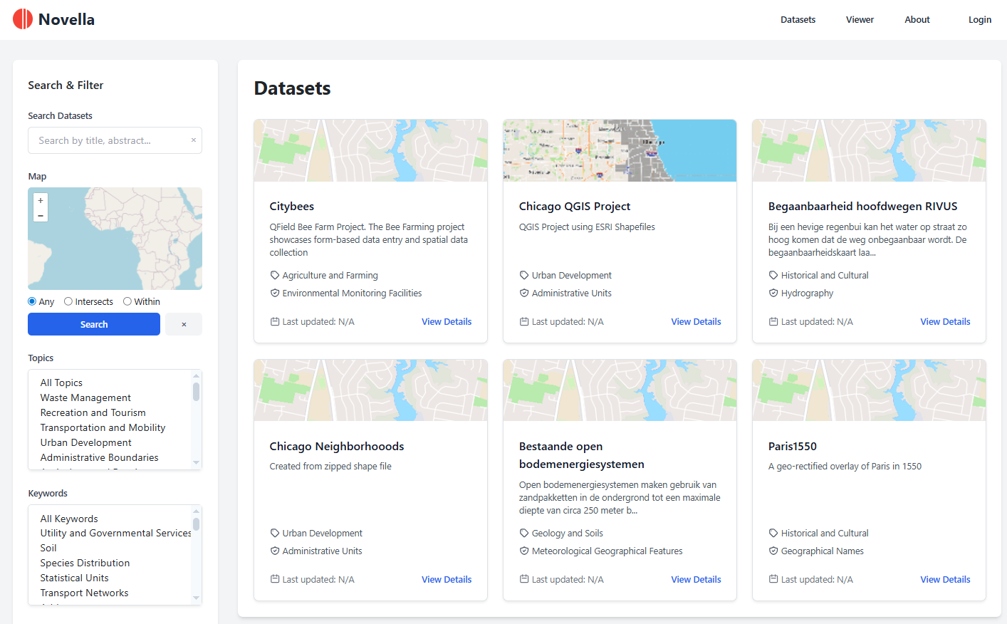
 Novella
 Solutions